
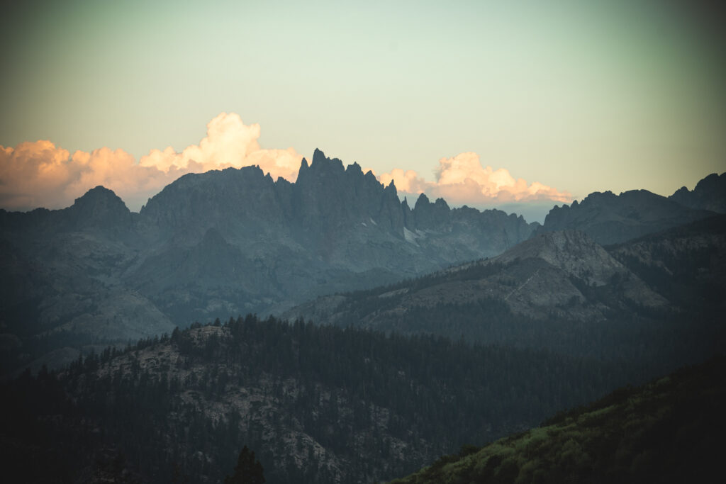
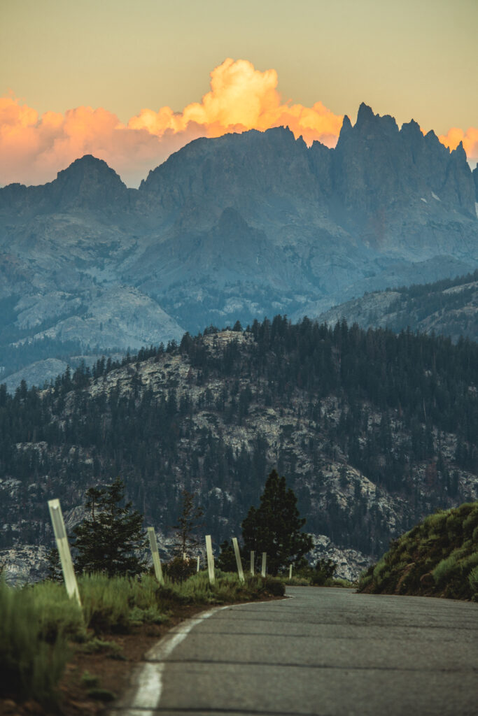
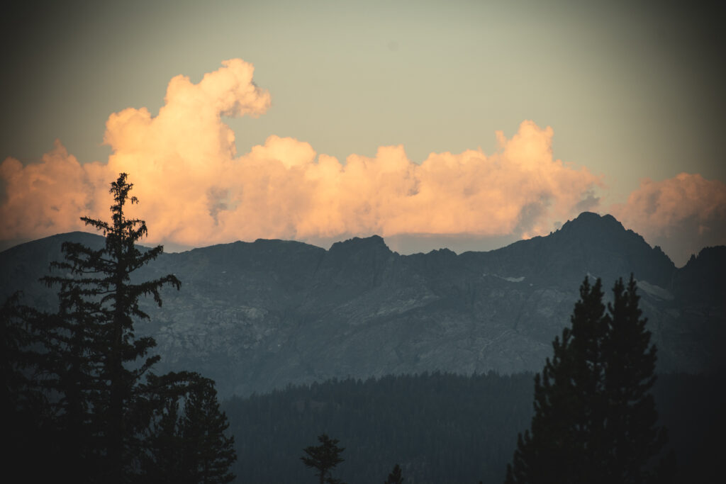
Cloud Ripper 13,525 ft Eastern Sierras
Cloud Ripper sits in the Palisades area of the Eastern Sierras, part of the Inyo National Forest. With approaches from both the east and the west.
From the west, just outside of Kings National Park.
Approaching from the east is a 2+ hour drive from Bishop California, through the Coyote Flat area.
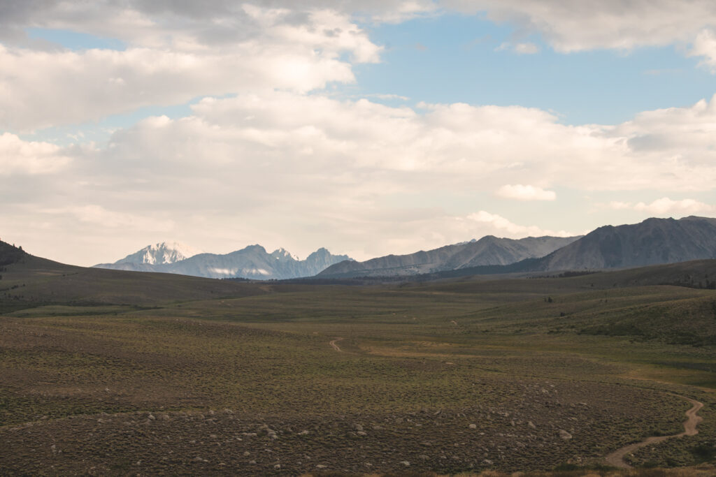
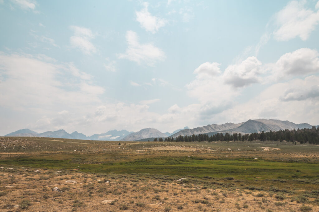
Coyote Flat
This is an area I didn’t really know existed before this trip. Ironically, I was looking to make a trip to Baker lake. Which would have led me to this area. But instead of lake camping my objective this time, was to climb a mountain.
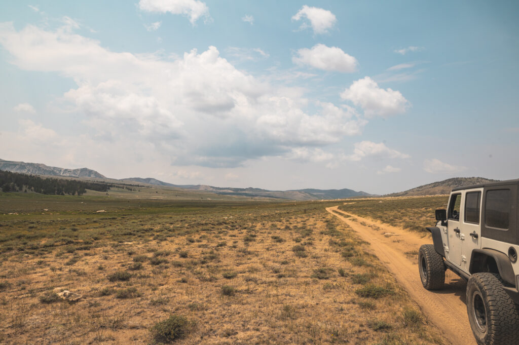
Driving from “Mountain Rambler Brewery” in Bishop. Mountain Rambler being my favorite place to grab a good meal and a beer in Bishop. I headed out expecting a paved road, to a fire road, to a remote trail head. not quite..
Getting to Coyote Flat
Leaving Bishop, it was 106 degrees, with misty rain and faint smoke in the air. Zig Zagging through town I was met with a wide wash boarded fire road leading me into the mountains. This wide wash boarded fire road steadily increased its pitch, eventually turning into a dirt mountain road switch backing itself up.
Nothing too technical but steep and it was hot! still over 100 degrees. Just about at the point I put my jeep into 4low in efforts of keeping transmission temperatures down. No sooner did my transmission overheat. Not too serious of an issue, nothing that parking for 5 or so minutes wouldn’t fix.
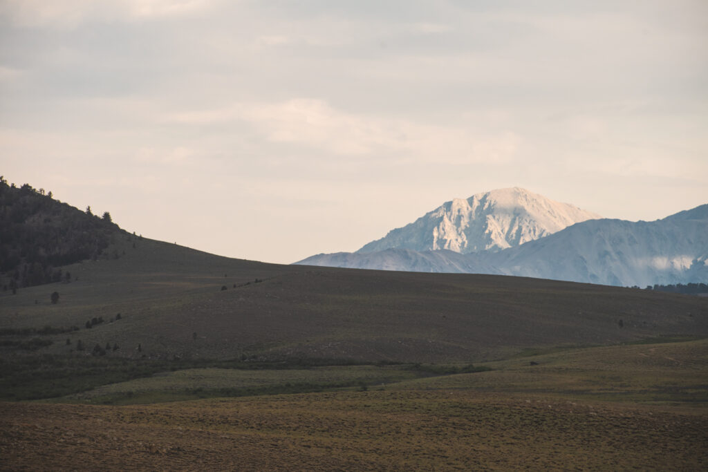
Upon parking I got to sit, Looking down on Bishop watching a storm roll in from the north. Not a bad situation at all.
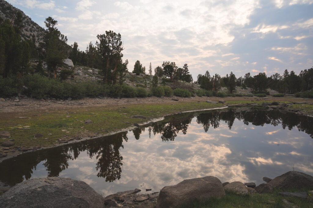
As the trail continued to climb there were a few steep sections, rocky parts as well as water crossings. At the top I was met with a long and wide meadow. Sitting at about 9,500 ft above sea level. Stretching out in what I am guessing is a 10 by 5 mile wide rectangle. Coming in to this meadow with light rain falling and not a single person in sight was one of the most beautiful nature scapes I’ve seen. Crossing the meadow, a faint peak began to emerge as I moved closer. Reaching the other side, it was as if the land dropped away revealing a cathedral of mountains beyond its edge.
Camping at Coyote Flat
I drove down to a difficult spot to get to. There was already no one around but I wanted to make sure of it. Basically, at the end of the road. Or at least the end of the road I needed to be on.
I discovered an absolute horrendous out house. And a little creek that I thought looked fresh enough to drink from without filtering. I never got sick so I think my assumption was correct. I also Made sure that I was getting my water from the highest part of the stream. There was either bear or cow poop close to the water source but downstream. On the topic of bears, inspecting some trees near where I was camping, I did see some scratch marks which makes me think, Yogi’s like this place as much as I do.
Cloud Ripper from a North Eastern approach.
There isn’t much information about Cloud Ripper from an eastern approach. For that exact reason I thought it would be fun to figure it out. I found some general information about where to park that would get me as close as I could be to the mountain. As for finding a route to the base of cloud ripper. I built a route in my Garmin Explore account. Just looking at topography I made what I thought would be the best option.
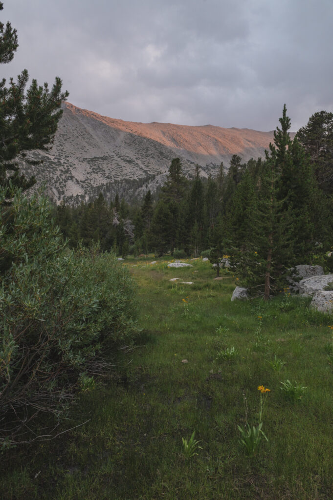
For the most part I had the right Idea but when I was exploring the creek where I was camping, I found that there was an existing established trail. I decided to take this to the point at which I needed to exit the trail to head for Cloud Ripper.
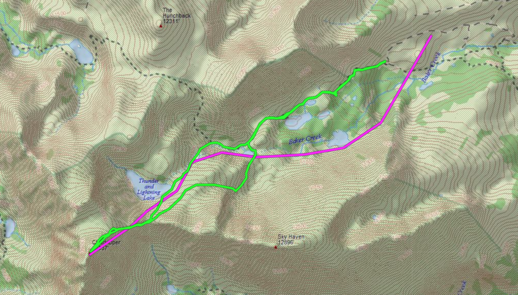
Baker Creek
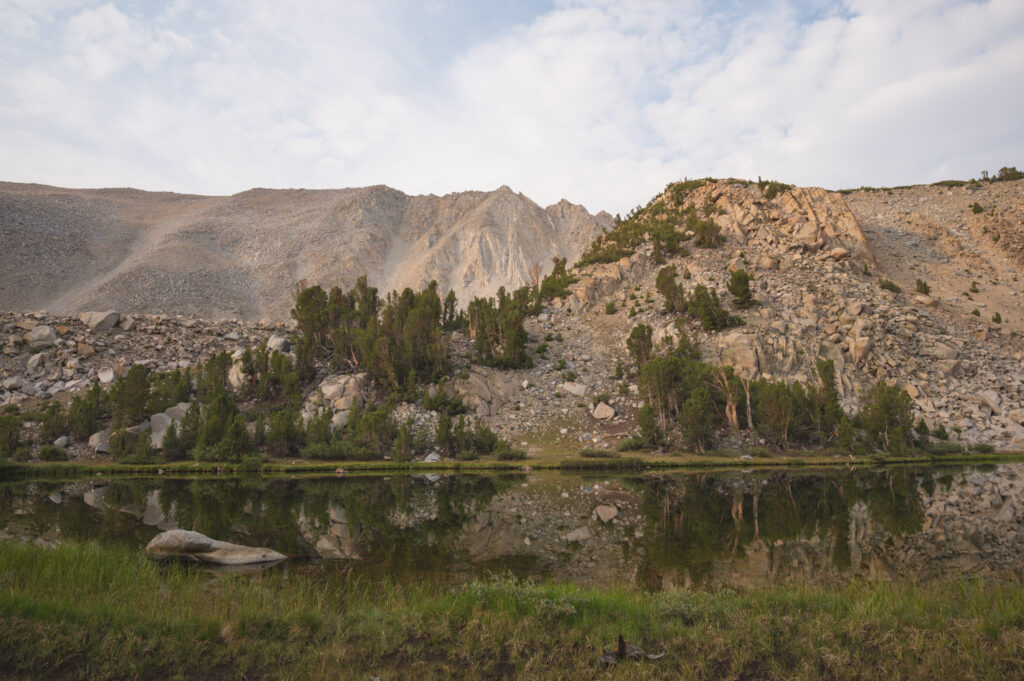
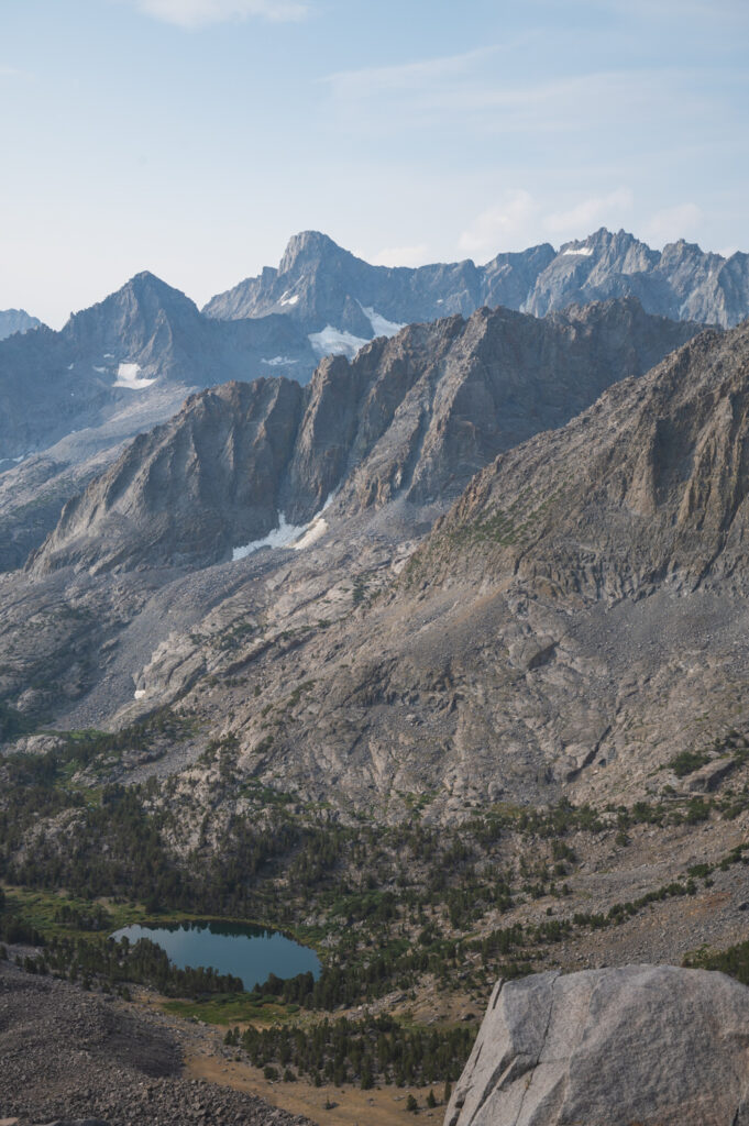
Taking the trail up the Baker Creek, Past the baker lakes. At the last lake I opted to cut over to the west side of this lake. Climbing up to a small saddle towards cloud ripper. This puts you into a mile or so of clambering over very large low angle boulders. Taking you to Thunder and Lightning Lake.
Thunder and Lightning Lake
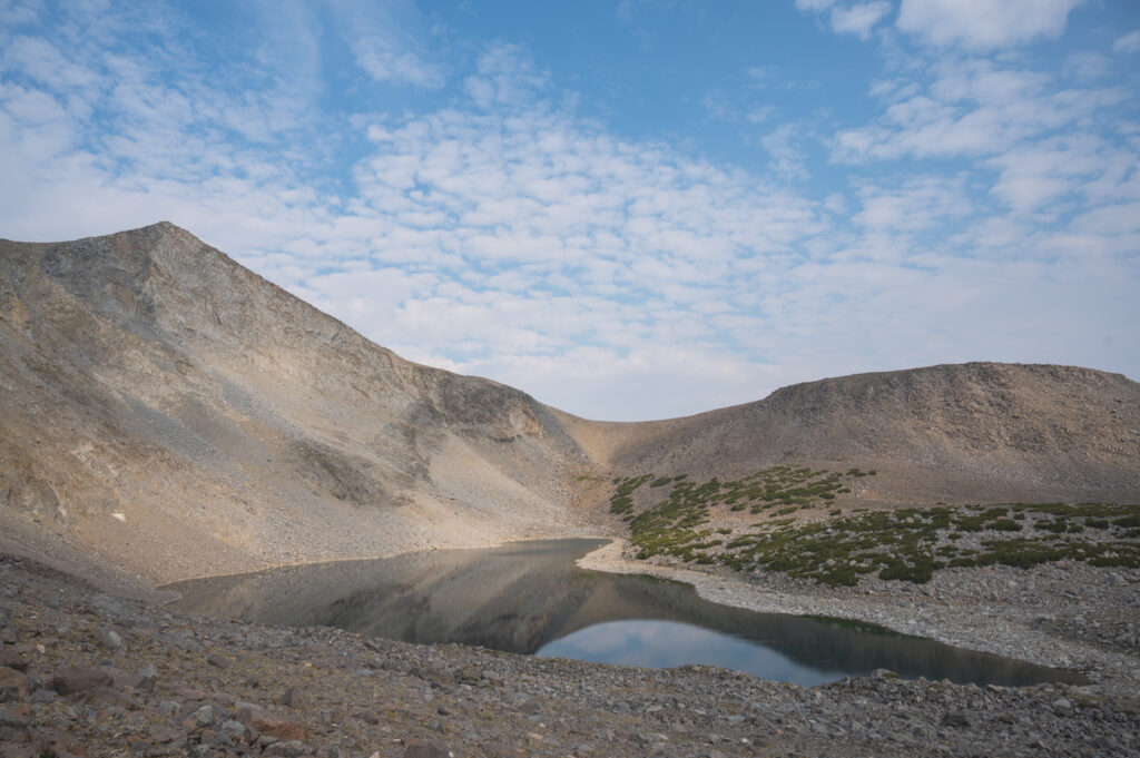
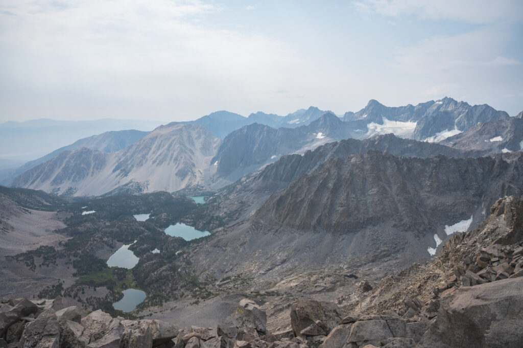
Working my way up from Thunder and Lightning Lake over another mile or so of relatively low angle climbing. Over what is chunkier than scree but loose enough to slip and bang your shin on mountain surface.
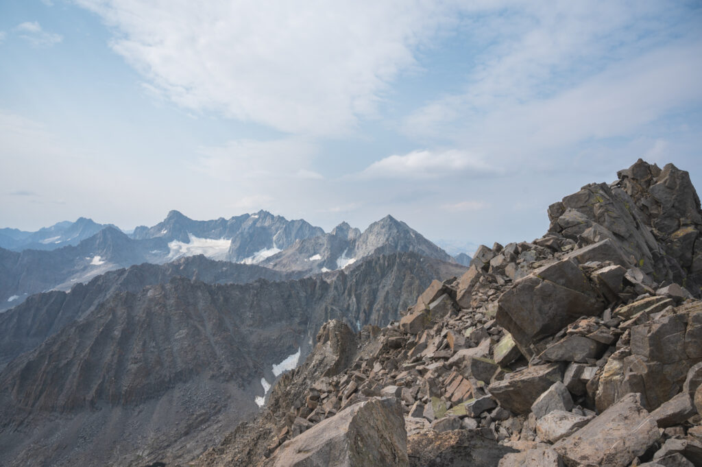
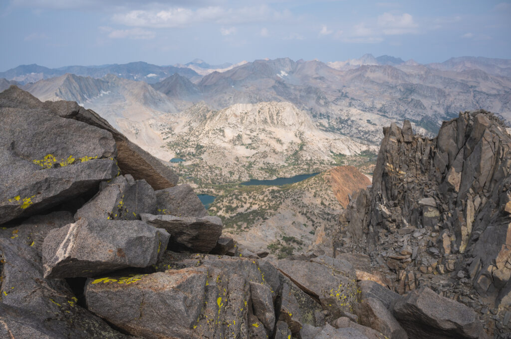
Base of Cloud Ripper
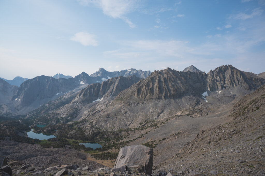
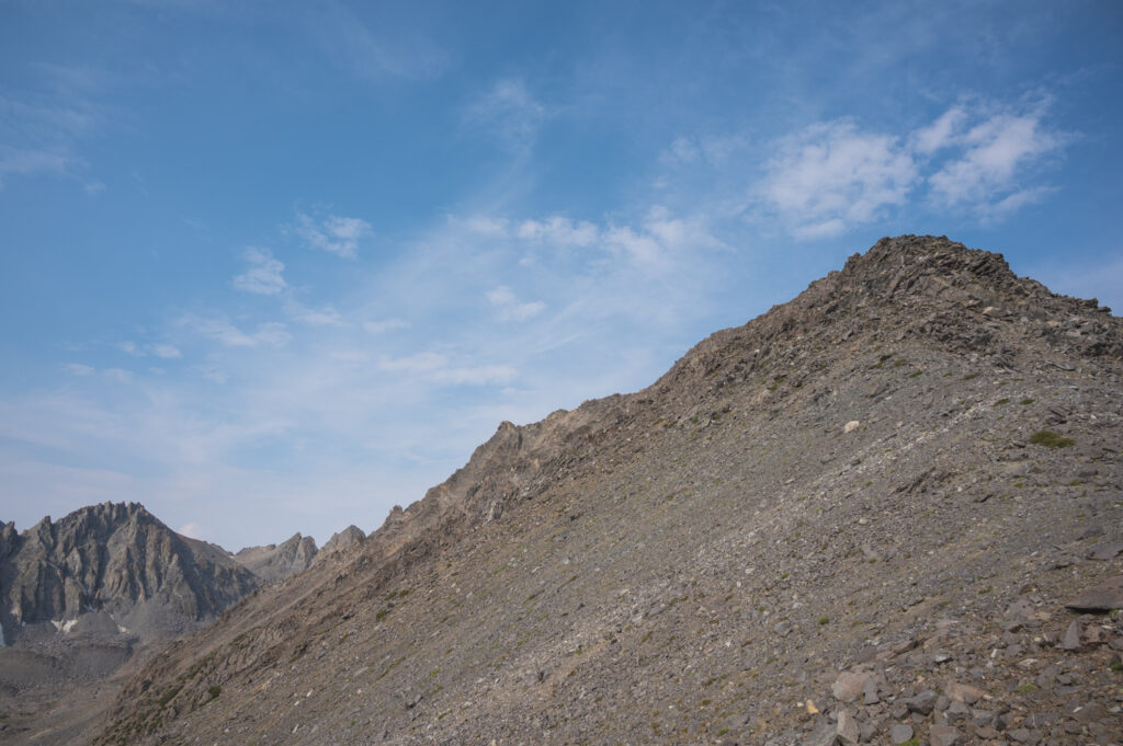
At what I am going to refer to as the base of the mountain you are met with an outstanding view of the Palisades and lakes below. From this point things get steeper and finally achieves Class II status with some Class III options.
Summit of cloud ripper
Getting to the top I was met with an outstanding summit ridge. As you edge closer to the highest point visible, It gets narrower. The final small arret is well exposed and a fall would certainly injure you, if not kill you. Maybe 2 moves at a 5.5 rating by my climbing scale. But well worth it!
Some GoPro of getting to the top of Cloud Ripper
Cloud Ripper to me..
The name sounds like a kick ass Iron Maiden song. I originally learned of this peaks existence from an Instagram post, from someone I don’t know. It had been on my list for some 5 years.
I was blown away with the sheer beauty of this area. Coyote Flat to the summit was absolutely gorgeous.
As for the climb it was a bit of a grinder but very doable in a half day. Looking at the Palisades nearby I am already mapping my next climb.
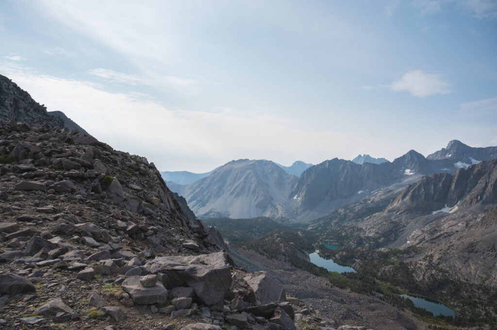
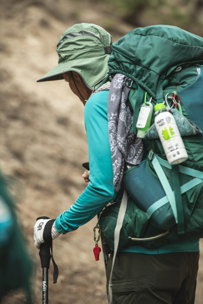
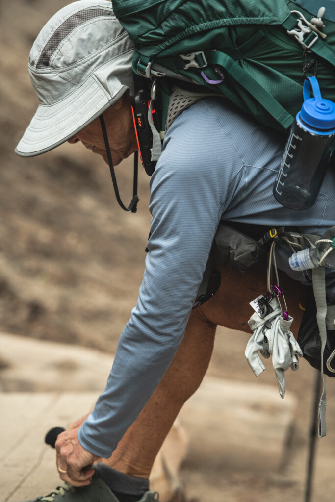
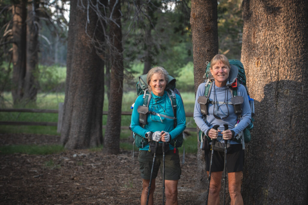
More photos
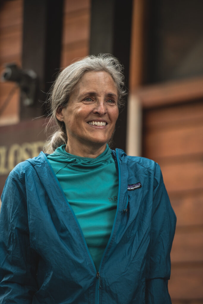
Mammoth Lakes
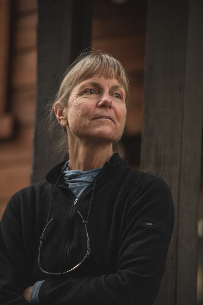
After getting back to Bishop I made my way once again to Mountain Rambler. For some tasty beer and food. Then up to Mammoth Lakes to visit with my Mom for a few days, before she sets off on the John Muir Trail.
I love summertime in the mountains…
If you are interested check out all my photography services..